All Types of drone Survey, Photograpy and Videography Service Provide.
Explore services
Years of experience
Changing the face of work through new drone technology.
We are ambicious to our every project and deliver our best performance to the client.
Start a ProjectProject details and client requirement.
Investigate the site, Plan flight mission,aquire data, aerial images
Execute flight data processing and generate report.
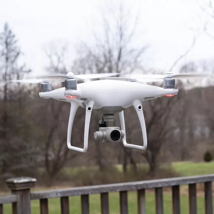
"A drone survey refers to the use of a drone, or unmanned aerial vehicle (UAV), to capture aerial data with downward-facing sensors, such as RGB or multispectral cameras, and LIDAR payloads.
Creative engineer at Rudra infotech
"A drone survey refers to the use of a drone, or unmanned aerial vehicle (UAV), to capture aerial data with downward-facing sensors, such as RGB or multispectral cameras, and LIDAR payloads.
Creative civil engineer at Rudra Infotech
All Types Of Drone Services